

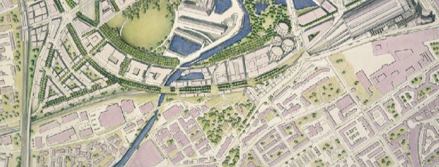
In every civilisation, the way communities settle and grow is never random — it’s a response to their surroundings. From the water-bound cities of Kerala to the highland settlements of Ladakh, each region reflects how climate, topography, and infrastructure influence human habitation.
Understanding these factors is fundamental to architects, planners, and engineers in the AECO industry, as they define not just the physical layout of cities, but also the comfort, economy, and sustainability of life within them.
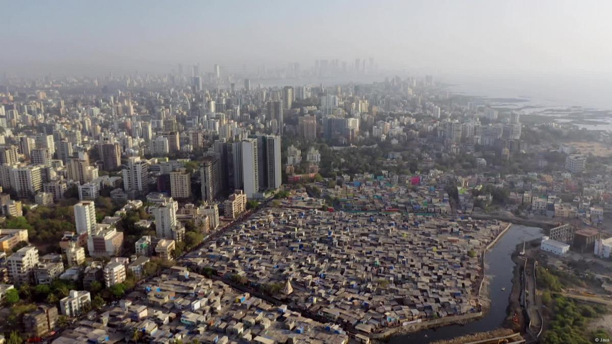
Image Source: Medium
1. Climate: The Architect of Comfort and Form
Climate is one of the most defining factors in settlement planning. It shapes everything from the orientation of buildings to the density of development and choice of materials.
- Hot and Arid Climates: Compact settlements with shaded courtyards and narrow lanes, as seen in Jaisalmer, help minimise heat gain and reduce dust.
- Warm and Humid Climates: In regions like coastal Tamil Nadu, open layouts, elevated plinths, and cross-ventilation address both heat and moisture.
- Cold Climates: Settlements in Himachal or Kashmir often adopt clustered housing to retain warmth and reduce exposure to cold winds.
As climate patterns shift globally, architects are now revisiting passive design principles alongside modern tools such as simulation-based analysis to ensure thermal comfort and energy efficiency.
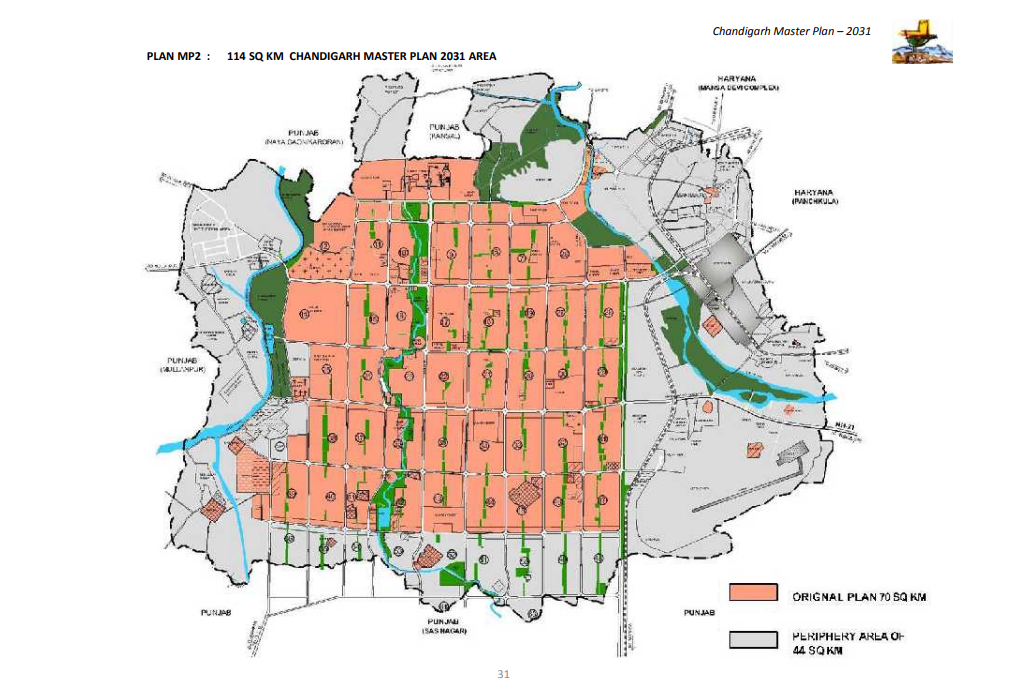
Image Source: 99acres, Chandigarh Settlement Plan
2. Topography: The Landscape as a Planner
Topography determines where settlements can exist, how they expand, and what infrastructural strategies are viable. The slope of the land dictates drainage systems, access routes, and even social hierarchies in traditional settlements.
- Mountainous Terrains: Step-like developments along contour lines, such as in Sikkim or Shimla, prevent erosion and preserve views.
- Flood-prone Plains: Raised plinths and stilted structures, typical of Assam, adapt to monsoon cycles.
- Coastal Regions: Settlement planning here requires a delicate balance between accessibility and protection against sea-level rise.
With modern geospatial technologies and digital terrain modelling, planners now assess topography not only as a constraint but as a generator of design, helping develop resilient and aesthetic landscapes.
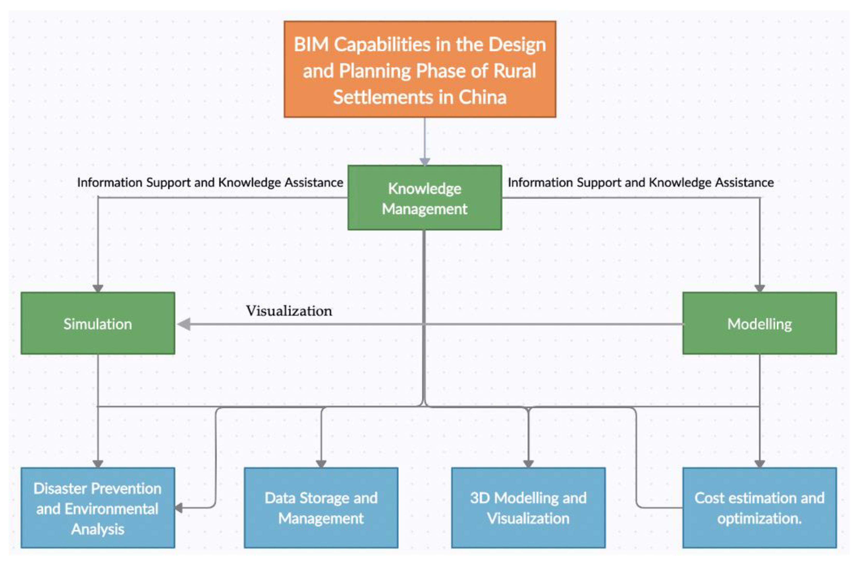
Image Source: MDPI, Reflective Diagram of what China's smart City Planning incorporates BIM workflow for
3. Infrastructure: The Backbone of Modern Settlements
No settlement can thrive without an efficient network of roads, utilities, and public services. Infrastructure planning ensures connectivity, resource distribution, and long-term functionality of urban areas.
Water supply, sanitation, transport, and energy systems form the core of infrastructure-based planning, directly influencing settlement density and growth patterns. A well-integrated infrastructure plan allows for compact, walkable neighbourhoods and reduces carbon footprints.
Today’s AECO professionals increasingly rely on Building Information Modelling (BIM) to simulate infrastructure systems in 3D, identify conflicts, and streamline coordination between civil, mechanical, and architectural teams.
Kaarwan’s BIM for Civil Engineers and BIM for Architects courses help professionals understand how such digital workflows enhance large-scale planning and infrastructure management.
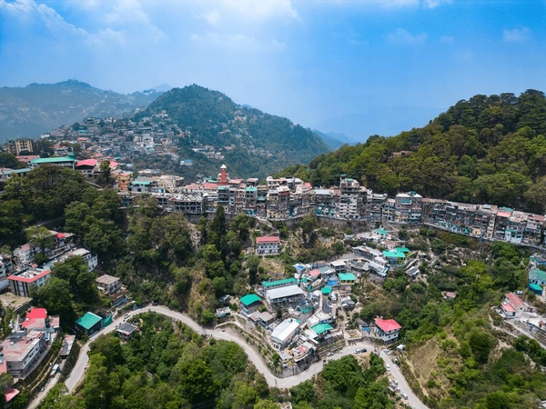
Image Source: Kumaon Tour Travels
4. Interdependence of the Three Factors
Climate, topography, and infrastructure rarely work in isolation. Together, they create a matrix that determines settlement form and viability. For example:
- In coastal cities like Mumbai, flat topography allows dense infrastructure, but climate demands shading, drainage, and green buffers.
- In hill towns like Mussoorie, steep topography restricts expansion, requiring infrastructure that adapts vertically while respecting terrain stability.
The success of any planning strategy lies in balancing these conditions — ensuring settlements are both sustainable and adaptable over time.
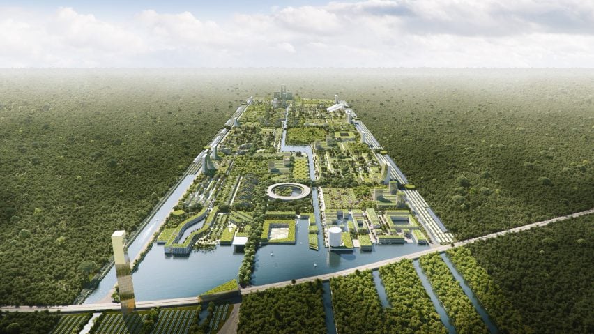
Image Source: Canoprof Cloud
5. Towards Resilient Future Settlements
As India urbanises rapidly, the lessons from traditional settlements — adapted intuitively to their environment — hold renewed relevance. With climate change, flash floods, and infrastructure strain becoming frequent, data-driven, climate-responsive, and terrain-conscious planning is now essential for resilience.
The AECO industry is witnessing a shift from reactive development to proactive, simulation-based urban design, combining local wisdom with digital tools.
For students preparing their urban or thesis projects, Kaarwan’s 5-Day Thesis Bootcamp offers guided frameworks to translate contextual insights like climate and topography into strong, defendable design narratives.
Conclusion
Settlement planning is not just about placing buildings on land; it’s about interpreting the land, reading the climate, and envisioning how people will connect and live. When these factors are understood in harmony, the outcome is not merely functional — it’s sustainable, humane, and enduring.
FAQs
Why is climate important in settlement planning?
It defines comfort, energy use, and design strategies for housing and streets.
How does topography affect settlement layout?
It influences drainage, road alignment, and building placement.
What role does infrastructure play in planning?
Infrastructure supports mobility, resource access, and long-term growth.
How can BIM help in settlement planning?
BIM allows planners to visualise, coordinate, and manage complex infrastructure systems efficiently among various disciplines by giving an overview of how each service element affects the design project.




.png)