
Top Websites for Accurate Contour Maps Every Architect Needs
When it comes to site planning, landscape studies, and environmental design, accurate contour maps are a non-negotiable resource. They provide the backbone for understanding terrain, topography, and site constraints — helping architects design responsibly and efficiently. Here are some of the most reliable websites to access high-quality contour data:
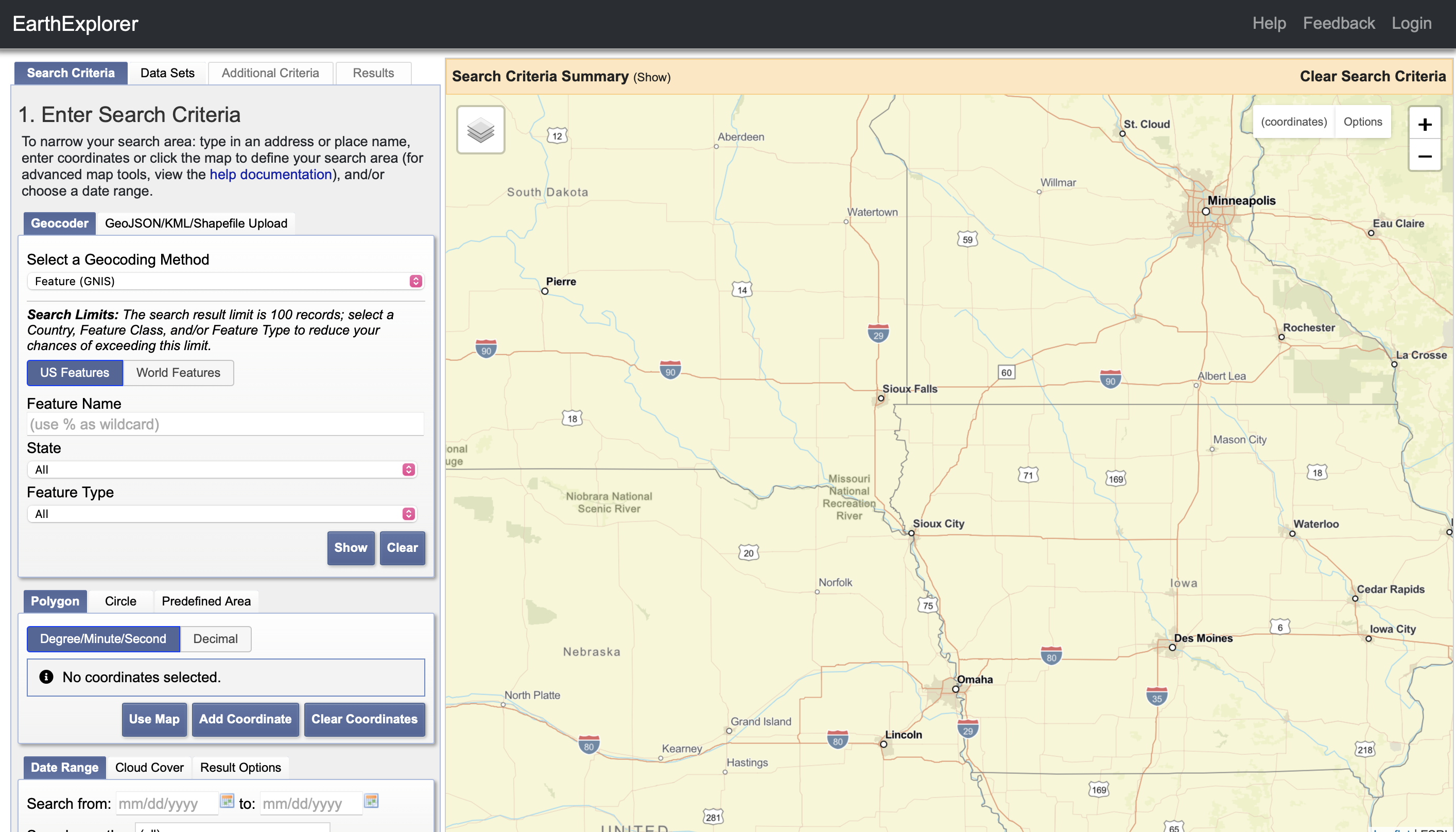
EarthExplorer (USGS)
Access: earthexplorer.usgs.gov
EarthExplorer by the US Geological Survey (USGS) is one of the most powerful platforms for accessing geospatial data. It allows users to download SRTM (Shuttle Radar Topography Mission) and DEM (Digital Elevation Model) datasets, which are essential for creating contour maps with precision. Architects rely on EarthExplorer for generating accurate contour bases that help in site planning and slope analysis. Its comprehensive coverage and global reach make it a must-have tool for professionals dealing with varied terrains.
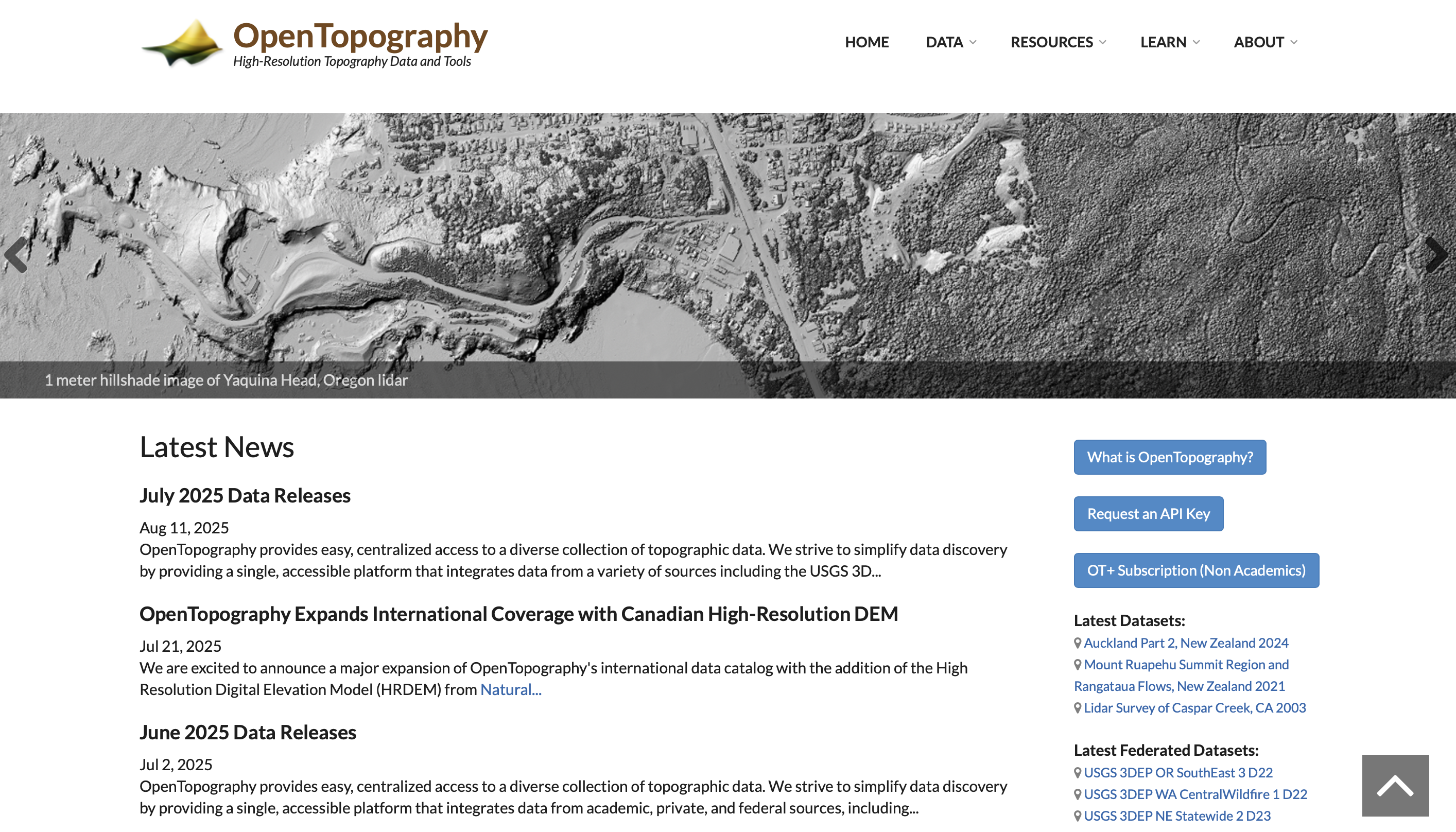
OpenTopography
Access: opentopography.org
OpenTopography is a specialized platform dedicated to high-resolution topographic data. It offers access to LiDAR point clouds, DEMs, and global elevation datasets, which architects use for advanced terrain modelling and detailed site studies. What sets OpenTopography apart is its precision, especially in projects that demand fine topographical details, such as landscape-sensitive masterplans or hillside developments. It simplifies complex datasets into contour-ready formats, making it an invaluable resource for architects and planners.
Global Mapper Free Viewer
Access: bluemarblegeo.com
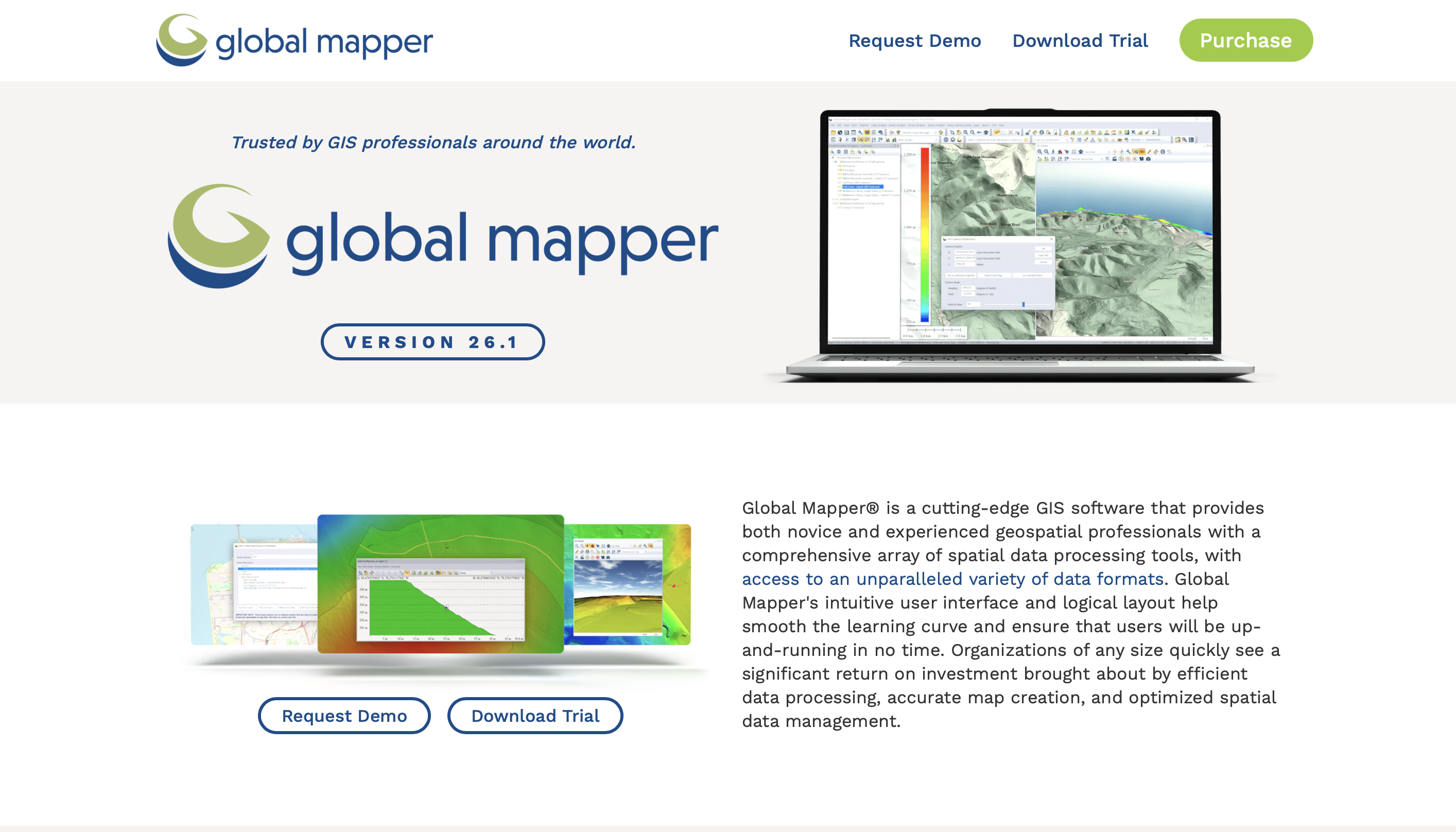
Global Mapper’s Free Viewer is a versatile tool for visualizing and extracting elevation data from multiple sources. Architects often use it to overlay DEM and SRTM files for better site understanding and contour extraction. Its user-friendly interface makes it easy to interpret topography without heavy GIS expertise. For professionals who need quick and reliable contour information before detailed modeling, Global Mapper serves as a practical and efficient option.
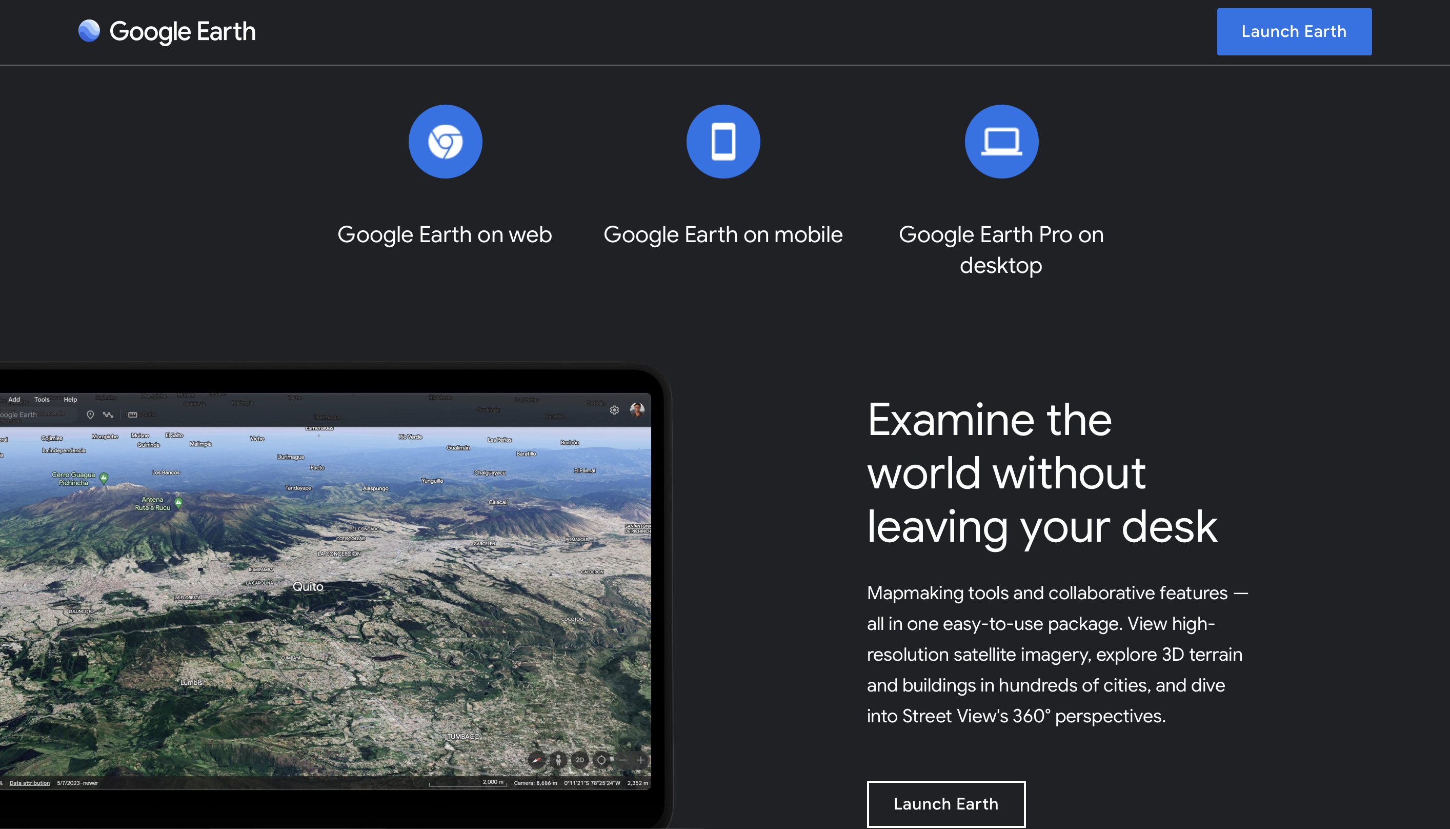
Google Earth Pro
Access: google.com/earth
Google Earth Pro, though often used for visualization, also provides elevation insights that can be converted into basic contour maps. Architects use it for preliminary site analysis, where quick terrain understanding is required before moving into detailed studies. Its global coverage, intuitive interface, and 3D view make it one of the easiest entry points into contour-based planning, especially in early design phases.
QGIS with Plugins
Access: qgis.org
QGIS, the popular open-source GIS software, becomes a powerful contour map generator when paired with DEM or SRTM datasets. Using its plugins, architects can process elevation data to produce highly customizable contour maps for site and terrain analysis. QGIS is particularly favored because it’s free, flexible, and supports data from multiple sources like USGS and OpenTopography. For those who want both precision and control, QGIS stands as a robust choice.
Final Word
For architects, accurate contour data isn’t just a technical requirement — it’s a foundation for better design decisions, sustainable land use, and context-sensitive architecture. From quick overviews on Google Earth to professional-grade DEMs from USGS and NASA, these platforms empower you to work smarter with the land.